
* RTK NETWORK NO LIVE
Premium NTRIP Correction Service Provider
Get connected to the Acutrip network of base stations and receive premium GNSS corrections or Raw Rinex data for your GPS device.
2cm
Acuracy
3
Base Stations

About the Founder
Built by a Surveyor
For Surveyors
"
As a practicing Professional Land Surveyor for the past 24 years, I am passionate about developing new and improved workflows for the Geomatics industry.
I hope this NTRIP network will make you more efficient in the field and ultimately more profitable.
If you would like to get connected or have any other Geomatics problems that needs solving, please feel free to reach out. Happy surveying!
Albert Coetzee
PROFESSIONAL LAND SURVEOR
Acutrip, Correction Service delivers real-time GNSS correction data.
This correction data removes positioning errors caused by atmospheric conditions, satellite drift, and clock inaccuracies, allowing surveyors and machines to achieve centimeter-level accuracy instead of meter-level accuracy..
Our 3 base stations

Mossel Bay
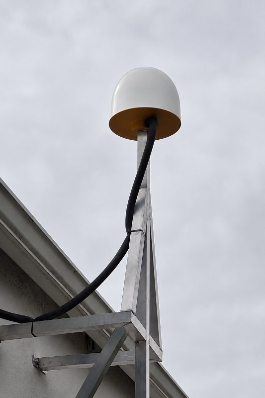
Great Brak River
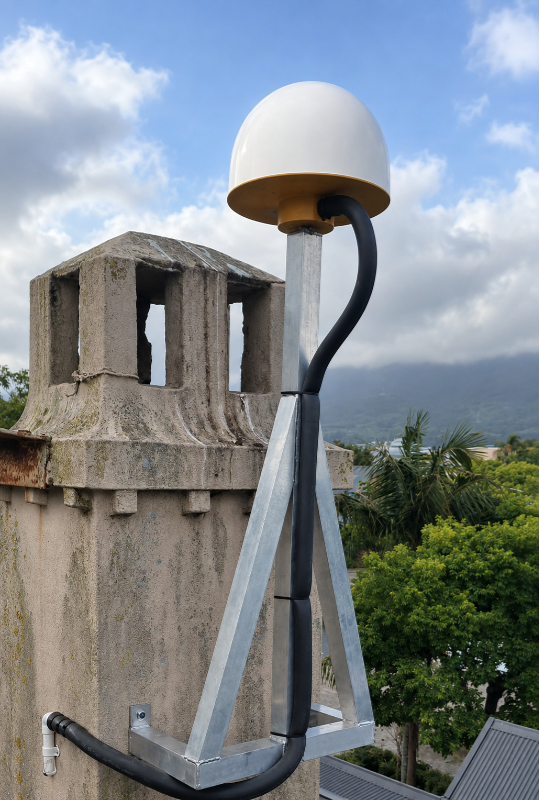
George
How does it work
1
Base Station Calculates Errors
A GNSS base station at a precisely known location receives satellite signals and calculates positioning errors.
2
Correction Data is Generated
The base station converts these errors into correction messages (usually RTCM format).
3
Corrections Sent to an NTRIP Caster
The correction data is uploaded via the internet to an NTRIP Caster (a server that distributes the data).
4
Rover Connects via Internet
A GNSS rover (survey receiver) connects to the caster using an NTRIP client through mobile data or Wi-Fi.
5
Rover Applies Corrections
The rover applies the corrections in real time, improving accuracy to centimeter-level positioning.
Benefits of NTRIP Correction Services
Centimeter-Level Accuracy
Improves GNSS accuracy from 1–3 meters down to 1–2 cm.
No Need for Your Own Base Station
Users can connect to an existing network instead of setting up their own base.
Large Coverage Area
NTRIP networks can cover entire regions or countries.
Real-Time Results
Surveyors and machines receive corrections instantly while working.